BAER Team Releases Soil Burn Severity maps for Diamond Creek, Uno Peak, Jack Creek and Jolly Mountain Fires
WENATCHEE, WA – The Central Washington Burned Area Emergency Response (BAER) team, led by Forest BAER Coordinator Molly Hanson and Greg Kuyumjian, has completed gathering data and field verifications on National Forest lands within the Diamond Creek, Uno Peak, Jack Creek and Jolly Mountain Fires. The team’s soil burn severity maps for National Forest lands are available HERE and at links below. Maps are also available at Inciweb site. The BAER team uses the maps to identify potential immediate threats to human life, health and safety, property, and natural and cultural resources on National Forest System lands.
Soil Burn Severity (SBS) refers to effects of fire on soil characteristics. These include the depth of char (a downward heat pulse into the soil), loss of organic matter through consumption of duff, litter, and fine roots, altered surface color, damage to soil structure, and reduced infiltration. Burn severity can vary across the fire area depending on topography, weather conditions, fuel types, and rate of fire spread. When organic materials on the ground and within the soil structure burn hot and slow, they form a layer on the surface and within the soil, reducing the ability of water to move downward into the soil and resulting in an increase in surface runoff.
Burn severity levels:
Low severity – These zones where subjected to predominantly an understory burn that consumed approximately 10-30% surface vegetative ground cover. Black charring of litter intermixed with grey ash is present. Hydrophobicity is generally absent but there are areas that are extremely dry that experienced weak hydrophobicity.
Moderate severity – Tree canopy cover of 50-80% usually has been consumed. The majority of the ground cover has been consumed with approximately 30 – 15% vegetative ground cover being retained. Grey ash is predominantly present, larger diameter organic matter material of .25-.5 inches is consumed, and soils are strongly hydrophobic. This indicates that high levels of heat were introduced to the soil. These sites are expected to be a source of ash, infiltrations rates will decline, runoff will increase, and soil loss will be accelerated.
High severity – Usually all tree canopy cover has been consumed of 90% or greater. Ground cover has been fully consumed with approximately 5-10% coarse woody debris material remaining. Finer organic material and woody material .5-1 inch has been fully consumed, ash is deep and generally grey, and soils are strongly hydrophobic. Infiltration will be reduced drastically and accelerated soil loss is predicted to occur. High levels of ash will be immobilized from these sites.
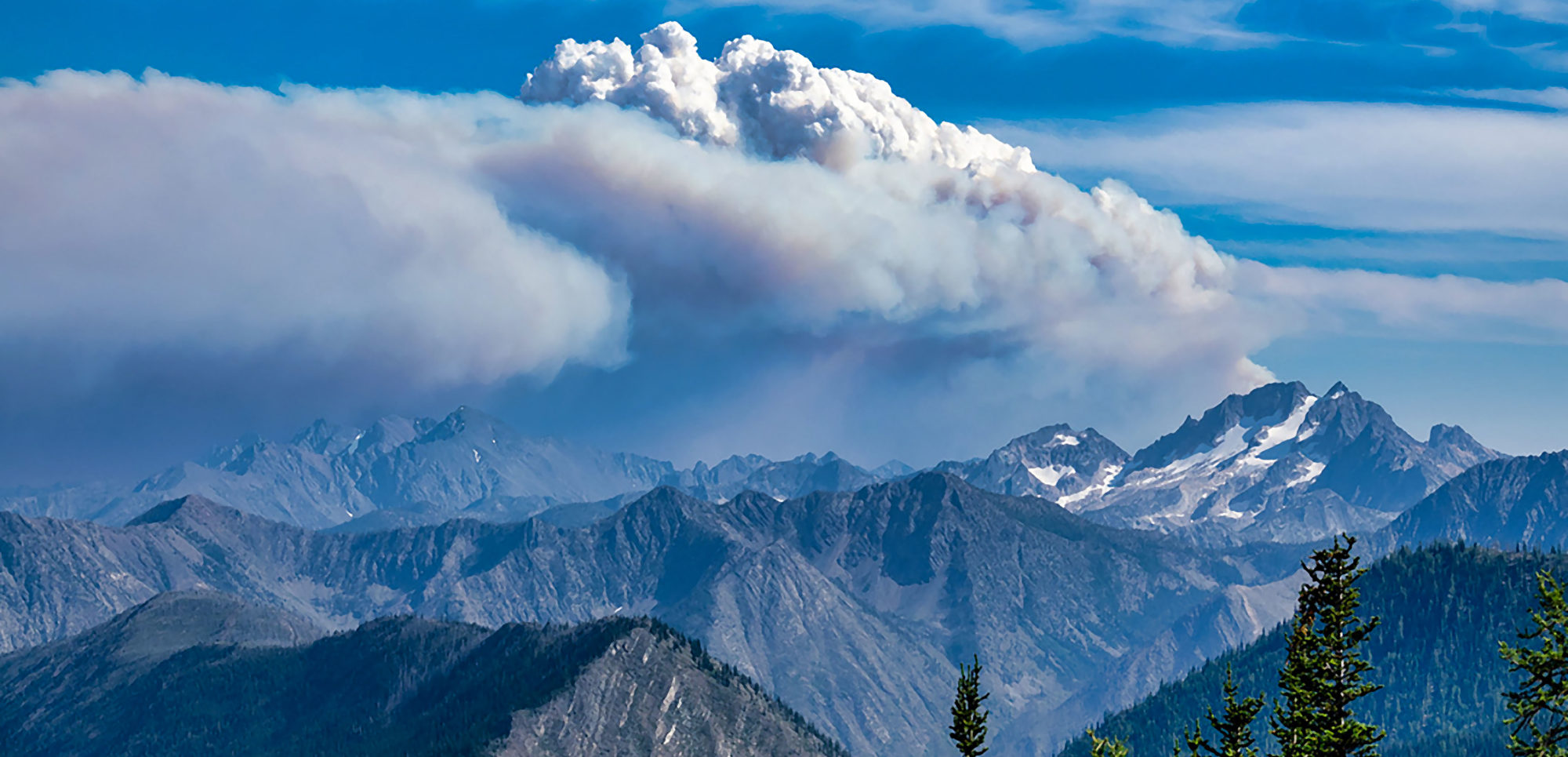
Diamond Creek Fire
The fire burned a total of 128, 272 on National Forest and Canadian lands. 97,136 acres burned on federal lands in the Pasayten Wilderness and Eightmile drainage about 11 miles north of Mazama, Washington. The BAER team’s soil burn severity (SBS) map indicates approximately 22,121 acres (23 percent) were identified as burned at high severity, 32,158 acres (33 percent) identified as moderate severity, 22,861 acres (24 percent) burned at low severity, and 16,338 acres (16 percent) remain unburned or burned at a very low severity.
See MAP
Uno Peak Fire
Uno Peak burned on the steep slopes of the east shore of Lake Chelan on the Chelan Ranger District and burned about 8,746 acres. Approximately 2,086 acres (24 percent) burned at high severity, 3,233 acres (38 percent) burned at moderate severity, 1,471 acres (17 percent) burned at low severity and 1,768 acres (21 percent) remain unburned or burned at very low severity.
See MAP
Jack Creek
Jack Creek burned a total of 4,607 acres all within the Alpine Lakes Wilderness area, 6 miles southwest of Leavenworth, Washington. Approximately 509 acres (11 percent) were identified as burned at high severity, 1,287 acres (28 percent) burned at moderate severity, 1,157 acres (25 percent) burned at low severity, and 1,147 acres (25 percent) remain unburned or burned at a very low severity.
See MAP
Jolly Mountain Fire
Jolly Mountain Fire burned 36,817 acres total, of which 25,857 acres were on National Forest lands about 6 miles northwest of Cle Elum, Washington. According to the SBS map, approximately 224 acres (1 percent) were assessed as high severity, 3,794 acres (15 percent) burned at moderate severity, 9,129 acres (35 percent) burned at low severity, and 12,711 acres (49 percent) remain unburned or burned at a very low severity.
See MAP
Norse Peak / American
Norse Peak and American Ridge Fires burned 55,934 total, northwest of Naches, Washington. According to the SBS map, approximately 8,653 acres (15 percent) were assessed as high severity, 18,806 acres (34 percent) burned at moderate severity, 12,014 acres (22 percent) burned at low severity, and 16,461 acres (29 percent) remain unburned or burned at a very low severity.
See MAP
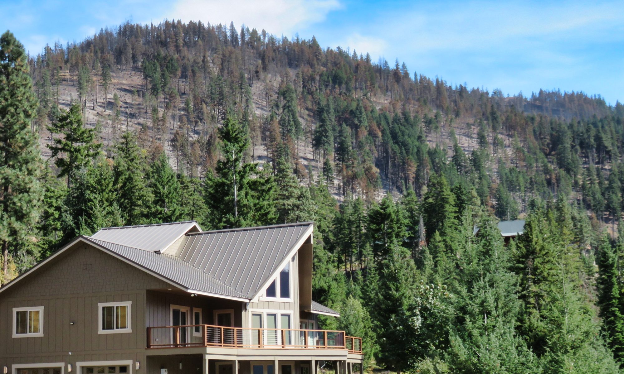
These maps help identify potential immediate threats to public health and safety, property, and cultural and natural resources. The BAER team has made funding requests for the Okanogan-Wenatchee National Forest for emergency treatments and risk-reduction measures.
These SBS maps will be released to the USGS for their independent post-fire debris flow modeling product, the results for each fire will be posted at this site:
https://landslides.usgs.gov/hazards/postfire_debrisflow/detail.php?objectid=149
Central Washington BAER Publications
1 to 3 page PDF fliers
Three Phases of Wildfire Recovery