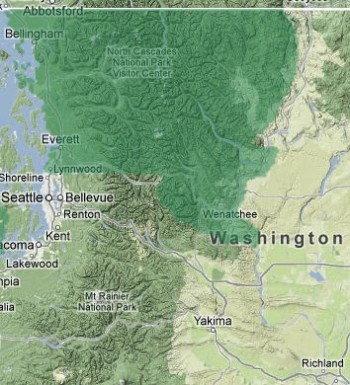
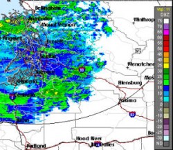
The National Weather Service has issued a flood watch for heavy rainfall through midweek along and near the east slopes of the Cascades. The flood watch is in effect through late Wednesday night for Wenatchee, Leavenworth, Cashmere, Entiat, Chelan, Manson, Plain, East Wenatchee, Mazama, Winthrop, Methow, Twisp, and Conconully.
Rainfall of 2 inches or more is expected along the Cascade crest near Stevens Pass, Washington Pass, and Stehekin between Tuesday morning and Wednesday night. The burned areas near Wenatchee could receive an additioinal half inch or inch of rain.
Heavy rains in the burned areas will increase potential for mudslides and debris flows, and small creeks and streams will rise markedly and could produce flooding. The Stehekin and other rivers have already risen sharply, and the White River and Nason Creek are of particular concern for flooding.
Residents should monitor forecasts and be alert for flood warnings. Be prepared to take action if flooding occurs in your area.


