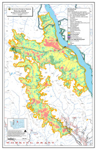
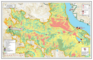
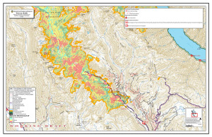
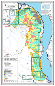
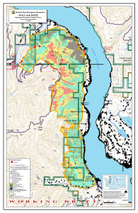
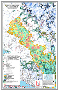
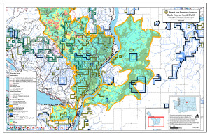
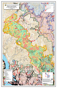
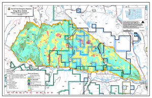
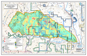
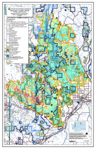
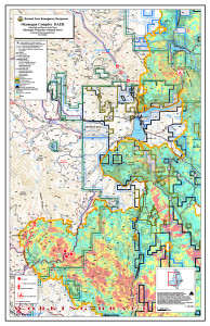
This page includes maps for each of the 2015 fires analyzed by the BAER team, with a Soil Burn Severity (SBS) map and a “treatment recommendations” map for each fire. Additional maps will be posted to this page as they are finalized. Maps here are sized for web use; click any map below for a larger version. Original high-resolution maps are listed at the bottom of the page.
__________________________________________________________
The maps listed below are all in JPG format and range from 7.9 to 18.7MB and may thus take a while to download on a slow internet connection.
- North Black Canyon Fire [12.4 MB]
- South Black Canyon Fire [10.6 MB]
- Black Canyon Treatment Recommendations [18.7 MB]
- First Creek Fire [5.8 MB]
- First Creek Treatment Recommendations [12.3 MB]
- Wolverine Fire [8.4 MB]
- Wolverine Recommendations: Entiat Valley [3.3 MB]
- Wolverine Recommendations: Lucerne to Holden [2.6 MB]
- Lime Belt Fire [15 MB]
- Lime Belt Treatment Recommendations [17.1 MB]
- Twisp River Fire [7.9 MB]
- Twisp River Treatment Recommendations [13.5 MB]